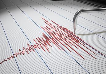
Current knowledge about the faults system within the New Madrid Seismic Zone (NMSZ) is learned by studying seismograph recordings of the seismic waves produced by frequent small earthquakes. Several organizations, such as St. Louis University, University of Memphis and the U.S. Geological Survey (USGS), operate a network of seismograph stations to monitor earthquake activity in the NMSZ and Central United States. Scientists use this network to record and study small microseismic earthquakes (magnitude less than 2.0) that occur on average every other day in the NMSZ.
The measured locations of microseismic earthquakes suggest trends scientist have used to identify active faults. The trends indicate a four-segment, zig-zag fault system with a total length of about 125 miles. This fault system stretches from east central Arkansas, northeastward through Missouri, Tennessee and Kentucky and into southern Illinois.
Learn More:
- Understanding Earthquakes
- Measuring Earthquakes
- Relationship Between Richter Magnitude and Modified Mercalli Intensity
- Relationship of Increasing Magnitudes
- History of Earthquakes in Missouri
- Earthquake Occurrences in Southeast Missouri
- Facts About New Madrid Seismic Zone
- The New Madrid Seismic Zone - PUB2465
- New Madrid Compendium - Eyewitness Accounts of the 1811-12 New Madrid Earthquakes - University of Memphis
- The New Madrid Seismic Zone - USGS
- Earthquake Hazard in the New Madrid Seismic Zone Remains a Concern - USGS
- Earthquake Maps, Tools and Locators
- Earthquakes - ready.gov
- Geologic Mapping for Natural Disasters
