The Missouri Department of Natural Resources takes a holistic approach in the protection and wise use of our natural resources. The department collects, stores, processes, produces and uses a variety of environmental data and other natural resource data. Data is also collected through various sources including federal agencies, other state departments, contractors and the regulated community. This information is provided in a variety of mediums and formats. Learn more about what data we produce and obtain and the steps we take to ensure its accuracy.


Search MEERTS and MERLIN for reported hazardous substance emergencies and releases

Online database of all analytical data analyzed at the department laboratory
Online portal for the regulated community to conduct business and submit data to MoDNR
GeoSTRAT, GeoEdge, Well Information (WIMS), map repository, well logs
Environmental Site Tracking (E-Start), Solid Waste Management, sites and facilities
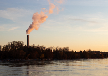
Clean Water Information (MoCWIS), boil orders, groundwater observation wells