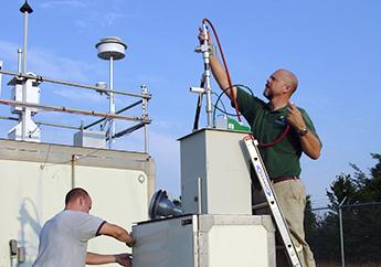
Air monitoring is required under the federal Clean Air Act (CAA). The State of Missouri operates a network of about 50 ambient air monitoring sites across the state. This network is used to determine whether areas in Missouri are meeting the primary National Ambient Air Quality Standards (NAAQS) and help develop information on air quality for the citizens of Missouri.
The air monitors measure air pollutants and send data to the U.S. Environmental Protection Agency's national database of air monitoring data, called the Air Quality System (AQS). Concentrations of most air pollutants are measured continuously, with hourly averages reported. Select an air monitoring site in the table below to learn more about each pollutant monitored and the data results for each site.
*To sort the table by field, click on the County or Station column headings in the table. You can "click" on the monitoring site's name to access information about the site, daily summary report and other related reports.
| County | Station | Pollutants Monitored |
|---|---|---|
| St. Louis | Ladue Air Monitoring Site | Particulate Matter |
| St. Louis | Maryland Heights Air Monitoring Site | Ozone |
| St. Louis | Pacific Air Monitoring Site | Ozone |
| St. Louis | Rider Trail I-70, Near Road, Air Monitoring Site | Nitrogen Dioxide, Sulfur Dioxide |
| Ste. Genevieve | Bonne Terre Air Monitoring Site | Ozone |
| Stoddard | Mingo Refuge Air Monitoring Site | Particulate Matter |
| Taney | Hercules Glades Air Monitoring Site | Particulate Matter |
| St. Louis (city) | Blair Street, NCore Site, St. Louis City Air Monitoring Site | Carbon Monoxide, Nitrogen Dioxide, Ozone, Particulate Matter, Sulfur Dioxide |
| St. Louis (city) | Branch Street Air Monitoring Site | Particulate Matter |
| St. Louis (city) | Forest Park, Near Road, Air Monitoring Site | Carbon Monoxide, Nitrogen Dioxide, Particulate Matter |