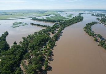
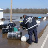
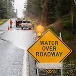
In 2022, the Missouri Department of Natural Resources received funding to develop a water center for the State of Missouri. Missouri has experienced historic flooding in recent decades. The 2019 flood caused an estimated $20 billion in losses impacting the Missouri and Mississippi River basins. This flood lasted longer than the 1993 flood, with areas along the Missouri River inundated for 279 days and the Mississippi River for nearly 100 days. The impacts of this flood demonstrated the need for better flood monitoring, protection and resiliency in Missouri.
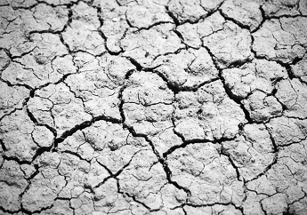
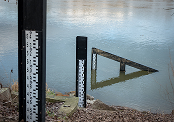
The department formed the Missouri Hydrology Information Center (MoHIC) to serve Missouri citizens during both flooding and drought. MoHIC's goal is to provide Missouri citizens with valuable flood and drought information to support informed decision making and build community resiliency. Access MoHIC's flood and drought monitoring mobile application and learn about other water-related projects below.


Contact Information
Water Resources Center
Missouri Geological Survey
P.O. Box 176
Jefferson City, MO 65102-0176
United States