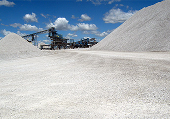
The Missouri Department of Natural Resources takes a holistic approach in the protection and wise use of our natural resources. Data is collected through various sources including the state level and through regulated entities, and provided in a variety of mediums and formats. Locate geologic information and data provided by the department's Missouri Geological Survey.
- Follow the Water – Understanding Springs in the Missouri Ozarks – Interactive Story Map
Note: The Missouri Geological Survey publications previously available below through our SharePoint drive are currently inaccessible. We are working on a solution to make them available again. Thank you for your patience.
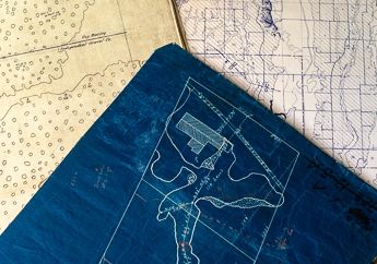
More than 2,000 maps of underground mines of various mineral commodities are available
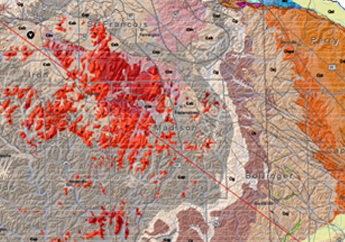
Locate geologic, hydrologic and geotechnical data using an interactive map


Apply for permits, take tests, submit records and more
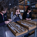
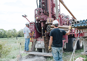
A repository for nearly 8 million feet of rock core and cuttings
Online portal for the regulated community to conduct business and submit data to MoDNR
Visit our free museum that illustrates the geologic history of Missouri