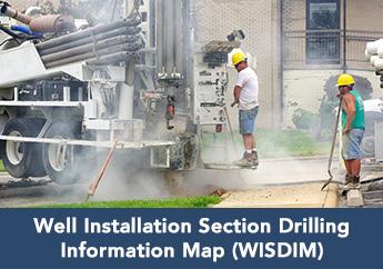
The Well Installation Section Drilling Information Map (WISDIM) is an interactive map that outlines domestic bedrock well construction requirements and well information throughout Missouri. Drilling areas delineate areas where well construction regulations vary because of differences in geology, hydrology or environmental factors. More information about drilling areas can be found in the Missouri Well Construction Regulation, located in Code of State Regulations 10 CSR 23-3.090(11).
Thirteen drill areas have been designated in Missouri. The drilling requirements delineated within WISDIM are based on well logs and data submitted to the Missouri Department of Natural Resources. Variations in topography may influence well construction. If field conditions are different from what is depicted, please notify the department's Well Installation section.
