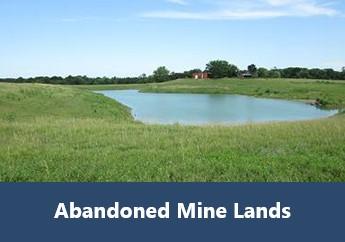
The Abandoned Mine Lands Viewer is an ArcGIS web application that assists the public in identifying locations that have been the subject of reclamation of coal, lead and zinc mining activities. This data set contains major coal reclamation projects completed by the department’s Land Reclamation Program between 2000 and 2014.
The map and related data sets are updated periodically. Other sites may have been reclaimed or have undocumented mining-related issues of which the department is unaware. Therefore, this map viewer does not indicate all locations of mining-related activities in the state. Nor is this map indicative of all locations that are regulated by the department.
Disclaimer: Although this map viewer and its underlying data sets were compiled by the Missouri Department of Natural Resources, no warranty, expressed or implied, is made by the department as to the accuracy of the data and related materials. The act of distribution shall not constitute any such warranty, and no responsibility is assumed by the department in the use of these data or related materials. Any user of this map or related data sets accepts any faults or limitations with the data and agrees to hold the state of Missouri harmless from and against any damage, loss or liability arising from the use of this map or related data sets. By visiting the site, you acknowledge your acceptance of these terms.