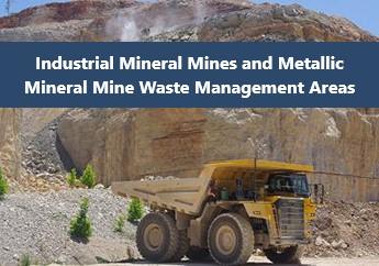
The Industrial Minerals and Metallic Mineral Waste Management Areas Viewer is an ArcGIS web application that depicts active sites permitted to mine industrial minerals, under the Land Reclamation Act, and sites permitted to mine metallic minerals under the Metallic Minerals Waste Management Act. The Land Reclamation Program enforces the statutes of these congressional acts, under direction of the Missouri Mining Commission.
For mine sites under an active permit, the Land Reclamation Program is responsible for permitting actions, inspections, enforcement proceedings and reclamation provisions of the mining laws. All Missouri mining laws require the post-mining restoration of land to a certain beneficial land use.
The viewer is updated nightly through our online Land Reclamation Information System, except for the Metallic Mineral Waste Management Areas. The map contains different layers with information in attribute tables, and illustrates the long-term mine plan boundary and current bonded and permitted areas. By selecting the feature, information about the site will appear or you can view this information in a table to search for specific information regarding a site. Data also can be sorted in ascending or descending order. In addition, operator contact information is also available.
