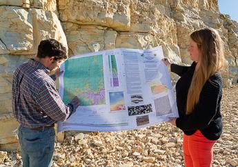
The U.S. Geological Survey's National Cooperative Geologic Mapping Program (NCGMP) funds bedrock and surficial geologic mapping, and digital compilation of geologic maps through its STATEMAP mapping program. Missouri competes annually for federal matching funds for geologic mapping. We have participated in the program since 1993.
The primary objective of STATEMAP is to establish the geologic framework of areas that are vital to the welfare of individual states. The state geologist determines the state's mapping priorities in consultation with the Missouri State Mapping Advisory Committee. These priorities are based on state requirements for geologic map information in areas of multiple-issue need or compelling single-issue need and in areas where mapping is required to solve critical Earth science problems.
In recent years, STATEMAP efforts have focused primarily on geologic maps that address water, aggregate and mineral resources; and landslide and earthquake hazards. Each project focuses on a specific area or issue. Although the individual projects last for only one year, they frequently build upon the results of previous years' mapping activities.
Status of Missouri STATEMAP projects
Contact us if you would like to purchase print versions of geologic maps.
