The department’s Missouri Geological Survey has been creating and archiving geologic maps of Missouri for more than 160 years.
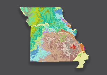
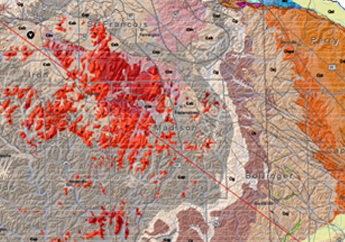
- Geologic maps show the distribution, composition, age and structure of the various solid materials that make up Earth's crust.
- Geologic maps are used for decision making in various economic and infrastructure planning applications.
- Geologic maps provide a basis for decision-making that results in wise management of land and its resources which benefits society and the economy.
The two most common types of geologic maps are bedrock maps and surficial materials maps. Bedrock geologic maps show the distribution of competent rock, or bedrock. They reveal what the pattern of bedrock would look like if all non-bedrock materials (soil, sediments, etc.) were stripped away from the surface. Surficial materials geologic maps, on the other hand, show the distribution of the various unconsolidated materials, such as soils and sediments that overlie bedrock.
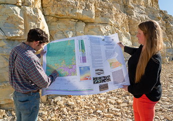
Purchase geologic maps by calling or visiting us at our sales counter.
- Follow the Water – Understanding Springs in the Missouri Ozarks – Interactive Story Map
U.S. Geological Survey helps fund the production of some of our geologic maps
Maps created to assist Missourians in their planning and response to a disaster