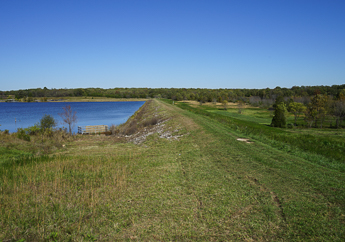
The Missouri Geological Survey was created more than 100 years before the Missouri Department of Natural Resources existed. Originally called Geological Survey of Missouri, it was founded in 1853 as the state’s first agency dedicated to studying and managing Missouri's natural resources. In 1870, the agency's name was changed to Missouri Bureau of Geology and Mines and created the first geologic map of Missouri in 1872. The agency continued to expand during the early 1900s, by inspecting dams and completing Missouri's first State Water Plan. In 1933, the agency was renamed the Division of Geological Survey and Water Resources and assigned to the Department of Business and Administration in 1945.
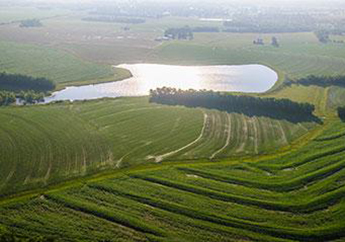
On July 1, 1974, the Missouri General Assembly established the Missouri Department of Natural Resources to consolidate state agencies concerned with some phase of the land, air, water, energy and cultural resources of the state. This included the Division of Geological Survey. Renamed the Missouri Geological Survey, our mission today is providing Earth science information and services supporting stewardship and beneficial use of Missouri's natural resources, and that benefit public health and safety. That mission is fulfilled through six programs: administration, dam and reservoir safety, geological survey, land reclamation, soil and water conservation and water resources center.