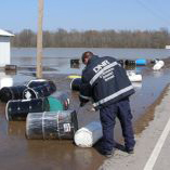
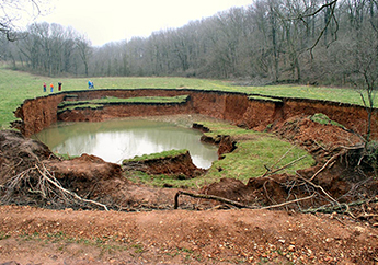
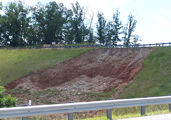
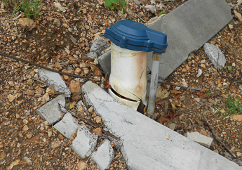
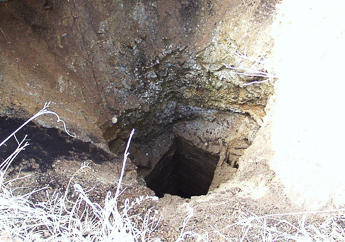
A geologic hazard is capable of causing damage or loss of life and property. Some man-made features can become hazards under extreme circumstances or over time. Find out how to prepare for or deal with various hazards and discover solutions and technical assistance available from the department to respond to emergencies.
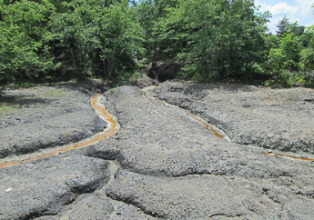

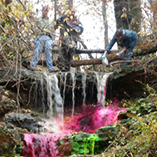
Call 24-hour spill line 573-634-2436 to report an environmental emergency